


La Bouille- Cote Albert Lambert-Robert le Diable

MichelRando7656
User
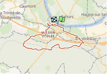

Length
14.9 km

Max alt
136 m

Uphill gradient
291 m
Km-Effort
18.8 km

Min alt
0 m

Downhill gradient
292 m
Boucle
Yes
Creation date :
2024-03-17 12:39:12.748
Updated on :
2024-03-17 17:03:14.532
4h23
Difficulty : Difficult

FREE GPS app for hiking
 SityTrail
IGN / Geographical institutes
SityTrail Plus
The world is yours!
About
Trail Walking of 14.9 km to be discovered at Normandy, Seine-Maritime, La Bouille. This trail is proposed by MichelRando7656.
Description
Côte difficile Albert Lambert au démarrage . Nombreuses petites routes-
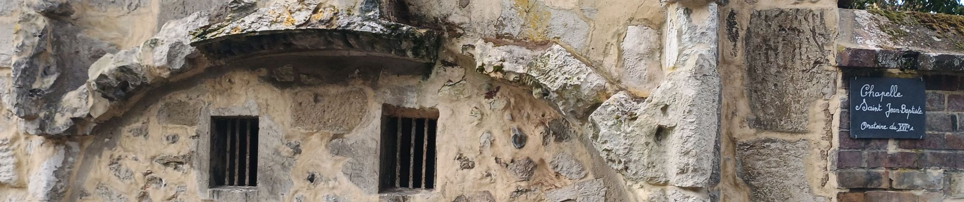
Passage au château Robert le Diable et retour par les marais.
Photos


Positioning
Country:
France
Region :
Normandy
Department/Province :
Seine-Maritime
Municipality :
La Bouille
Location:
Unknown
Start:(Dec)
Start:(UTM)
349868 ; 5468584 (31U) N.
Comments